The Registered Park & Garden
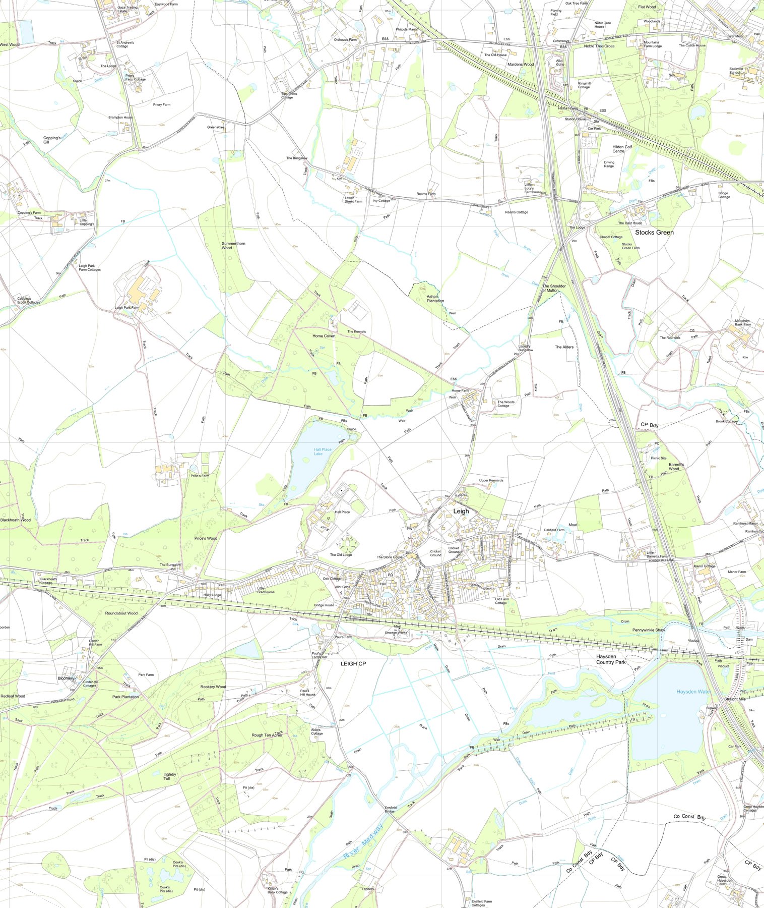
Walk out of the gardens and Hall Place opens its arms. The park is the estate’s widest register of effects: grazed pasture, scattered veterans, long views, and four quite different landscapes within one boundary line. The plan maps it in five character areas — East Park, the Ornamental Park, the Rookery, South Field and Cherry Orchard — and each has its own voice.
East Park
From the mansion’s north-west gates, East Park runs away towards the church as traditional lowland parkland: open grass, a moderate scatter of trees, and views that are spacious rather than crowded. The gates themselves stand within a notable group of mature oaks and cedars, supplemented by older horse chestnuts, and the park beyond holds some of the estate’s most historically eloquent trees. Along its north-eastern boundary, four veteran oaks grow on an eroded bank — the last of a double row planted, the survey judges, in the seventeenth century or the early 1700s, still standing on the boundary line shown on the very earliest map of the park. Close by, a low bank in the turf is all that remains of a double avenue that ran from East Lodge towards the lake, planted by the 1870s and gone again within a generation.
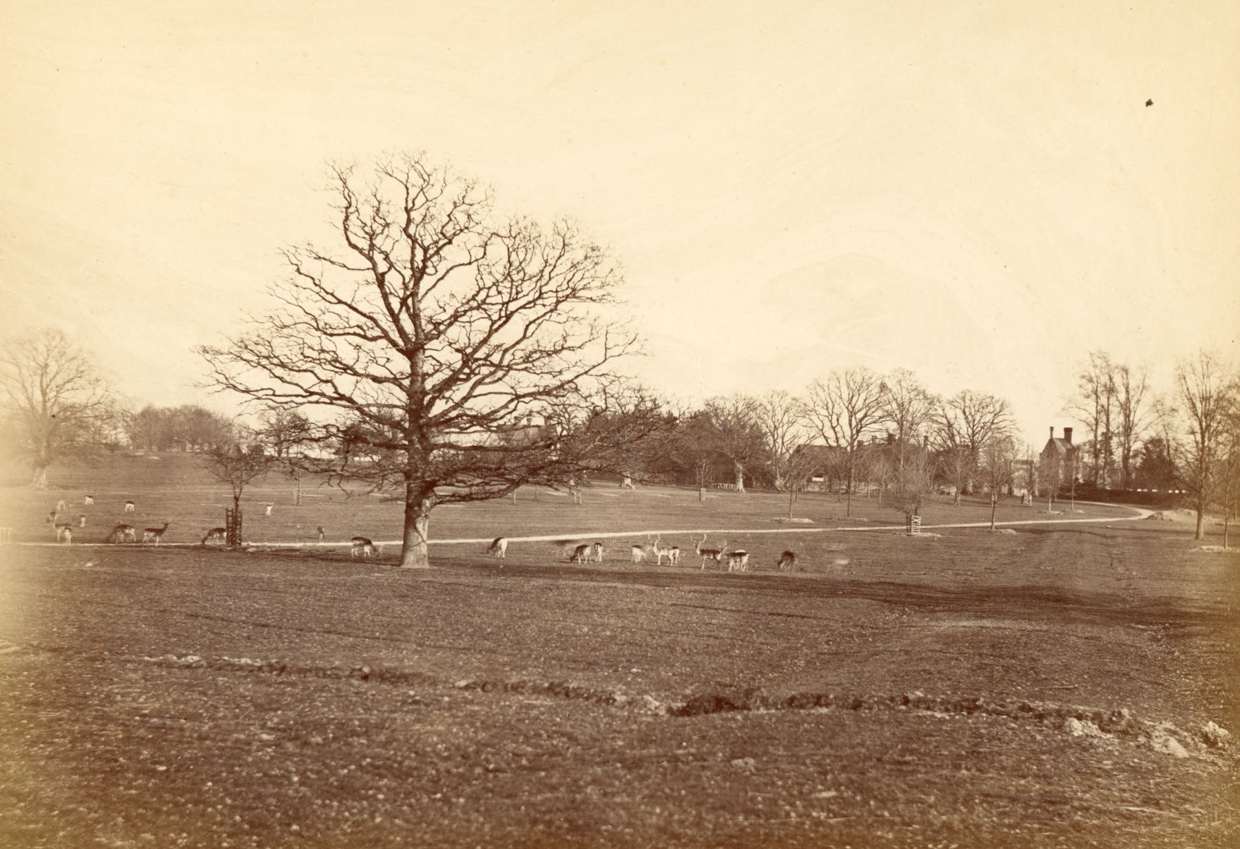
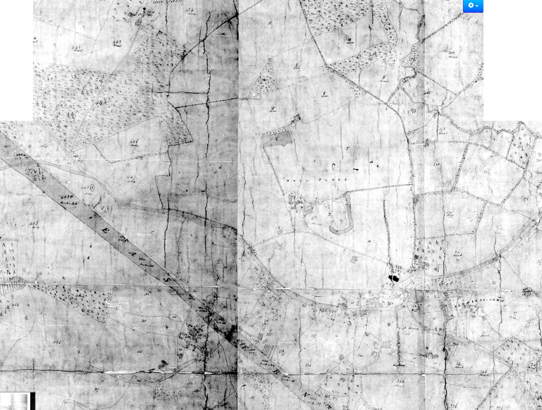
The park also keeps the estate’s older roads. A prominent terraced track, cut into the slope and lined with mature trees, carried the original drive from East Lodge along the edge of the churchyard — visible on maps from 1769 until the new house made it redundant. A metalled footpath once struck north-eastwards from here towards Home Farm. In the northern part of the park, horse chestnuts are the principal trees today, several carrying heavy dead wood; a small fenced shrubbery of cherry laurel and yew huddles against the churchyard; and an early twentieth-century avenue of atlas cedars climbs the hill from the roadside, with horse chestnuts threaded through it.
Along the gardens’ edge runs the so-called ha-ha — not a classic sunken fence but a set of retaining walls, labelled as a ha-ha on the tithe map and built in sections. Its south-eastern stretch is fronted by water: the remnant of the medieval moat that once surrounded the original manor house, remodelled in the nineteenth century as a landscape feature. Its arms — one 110 metres long, the other 50 — flood and glisten after rain, the oldest fabric in the park still doing ornamental duty.
East Lodge, at the park’s northern edge beside the church, was built in 1852 as part of the estate’s improvements, most likely to designs by Charles Baily. Its Tudor revival dress — diaper brickwork, stone dressings, mullioned windows with leaded lights, steeply pitched gables — is among the richest on the estate, and its gateways carry carved armorial panels: the leopard’s head, shells, and the Tudor rose.
South Field and the walls
South Field lies between the gardens and the High Street, and its western edge keeps the estate’s most public face. The park walls — probably of the 1850s, and running for nearly half a kilometre along the High Street — are built of red brick with blue diaper work and stone dressings, listed, and unmistakably a statement of ownership. Old Lodge stands at the corner of the entrance drive. Within the field, dense yew, holm oak and Lawson cypress line the boundary wall, a surviving wall section marks where the kitchen garden stood until the 1960s, and a varied collection of mature trees — stone pine, coast redwood, large-leaved lime, beech and oak — carries the field’s character. At its southern edge, birch and oak have come up against the boundary fence on their own initiative.
The Ornamental Park
The strip of land between the lake and the West Drive is the estate’s garden at its most layered. Mature oaks — several certainly older than the lake itself — anchor a succession of planting phases that runs from Morley’s day to the 1930s and beyond. Conifers, lime and Turkey oak shelter the fishing hut at the northern end; a band of 1930s planting carries bamboo, pin oak and young oriental plane; camellias, flowering cherries and species rhododendrons shelter near the boathouse; and a dawn redwood stands beside the south channel. Opposite, along the West Drive, the alternating line of Wellingtonias and cedars — one of the estate’s signature sights — draws the eye westwards. On the eastern side of the lake, great clumps of rhododendron, mostly over four metres high, rise over yew and western red cedar, with flowering cherry and crab apple beneath. Around the old bog-garden pool at the north-eastern corner, the planting changes again: katsura, magnolia and some fine oak.
The Rookery
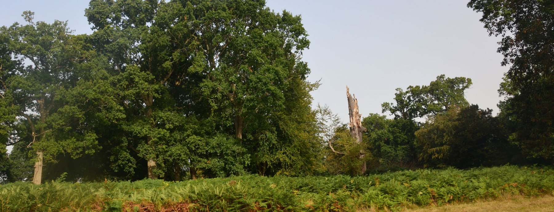
Across the water, the ground rises to 44 metres and the landscape turns woody. The Rookery is the estate at its most generous with trees: large, good-quality oaks, red oak, beech, London plane and large-leaved lime, full-crowned and unevenly scattered. Among them stand two veteran beeches and three veteran oaks. In the north-west, bracken grows over bluebells beneath the parkland trees — a fragment of older ground flora surviving under a plantation — and a dense clump at the south-eastern corner forms the dark backdrop that every lakeside view relies on. The Rookery is where the fallow deer lie up in the bracken, and its issues are practical rather than historic: a poor young plantation in the north, unmanaged scrub on the boundary, and an extensive area of rubble and stored material at its southern end that the estate’s management plan ranks among the landscape’s chief detractors. Its promise is as a future wood pasture, where standing and fallen dead wood — already rich in habitat — is a feature to keep.
Cherry Orchard
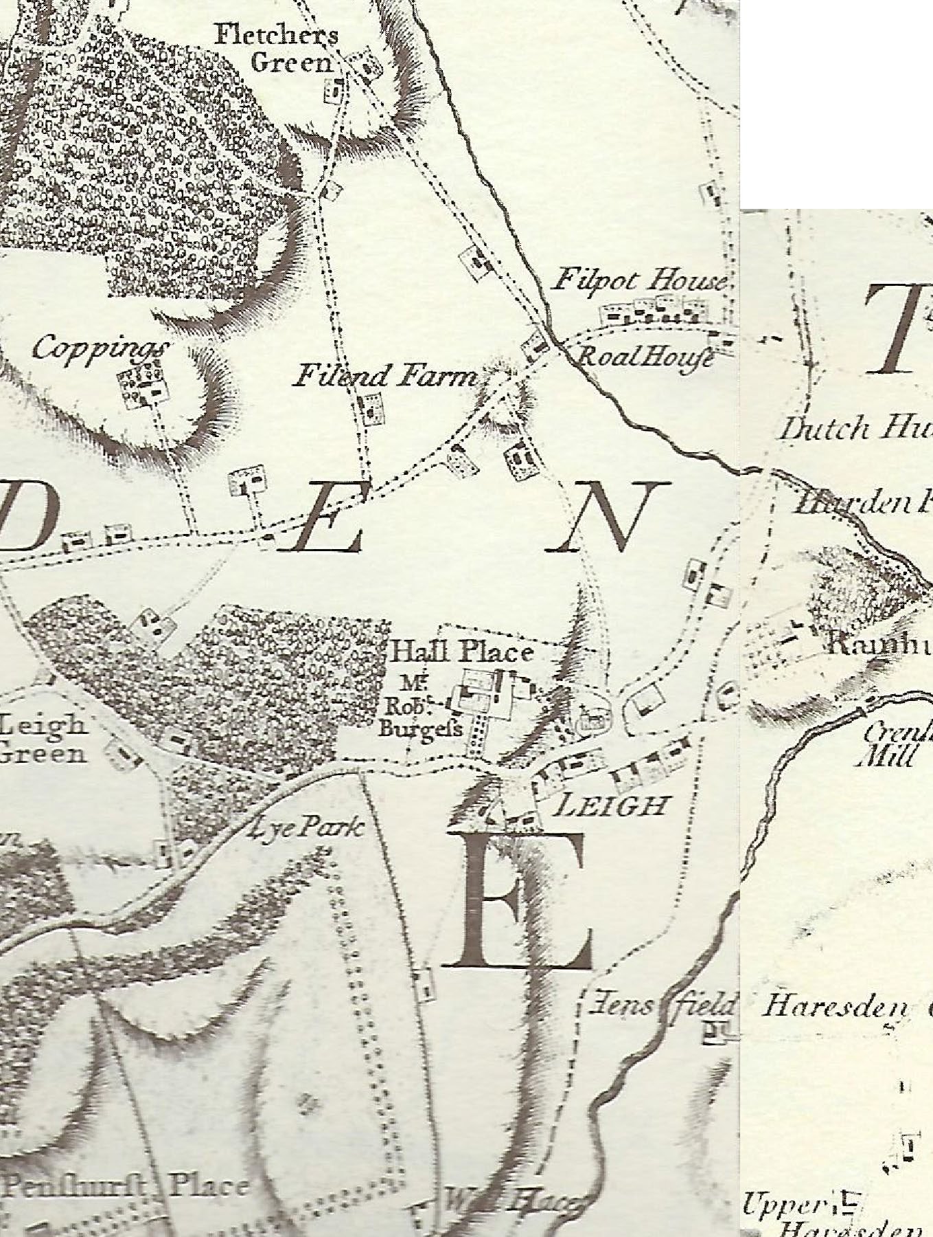
Cherry Orchard, west of the drive, is the estate’s simplest and quietest ground: open pasture with a handful of boundary trees. Five battered horse chestnuts trace a former field boundary across the middle of the field; veteran oaks stand among the old boundary trees; and a band of young oak, birch, hawthorn and field maple softens the southern edge — where derelict roadside fencing is the most visible call on the repair list. Beneath the grass, lidar reveals the field’s earlier life: low scarps and banks marking a former field system, probably medieval in origin, plus the square quarters of a nursery garden mapped in 1937 and the double-banked line of an earlier park boundary matching the 1801 county map. On a hillock above the village, a cement-rendered tank — part of the estate’s private water system — still overlooks the rooftops.
A working parkland
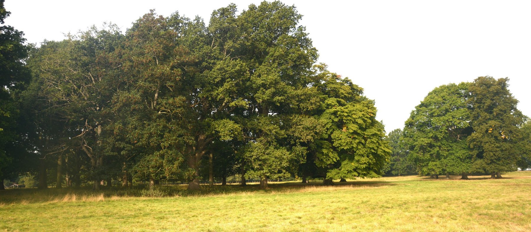
The pasture in all these areas is agriculturally improved rye-grass ley, and the estate’s direction of travel is to enhance its wood-pasture character through structure — more dead wood, more regeneration, better fences — rather than species changes. Countryside Stewardship options for wood pasture already shape the park’s management. In the Rookery, a survey in the 2000s found five scarce bees on the county’s rare species inventory, a hint of what the old trees and bracken support. And the bird list reaches from cuckoo to grey wagtail, both on the national Red List. The park, in other words, is not empty ground: it is the estate’s oldest and most quietly productive landscape, still working.
This page draws on the estate’s Conservation Management Plan (2023) and the National Heritage List entries for Hall Place and its registered park.