Post-war
Every so often a story takes root locally that refuses to go away, and the tale of the flood barrier is a good example. After the heavy rain that fell over Christmas 2013, word spread around the village that the water had come within a mere 3cm of the top of the barrier, and that the Environment Agency had then let out a huge volume of water to relieve the pressure. It made for dramatic listening — but, as this article sets out to show, it simply is not true.
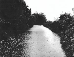
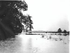
To get to the bottom of the story, members of the local history society paid a visit to the Environment Agency in June, where the facts were laid out clearly. Memories of the disastrous floods of 1968, which hit Powder Mills, the road to the Plough and the Tonbridge footpath, are still vivid enough to make everyone take flooding seriously, so the reassurance was welcome.
The key lies in an Act of Parliament, passed in 1976, which approved the building of the barrier. That Act set a maximum water depth at the Weir of 27 metres — and the structure was actually designed to cope with 28 metres, a metre more than the law required. On Christmas Day 2013 the water did indeed reach 27 metres, the highest level the Act allows, but that still left a full metre in hand. Far from bending the rules, the Agency followed the Act of Parliament to the letter. It is also worth noting that the surrounding flood plain could have absorbed around an extra 40% of water.
Fresh proposals for the barrier emerged in 2021. It will not be raised; instead it will be strengthened in places, work that will be invisible once the grass grows back. An extension on the northern side will protect Hildenborough.